
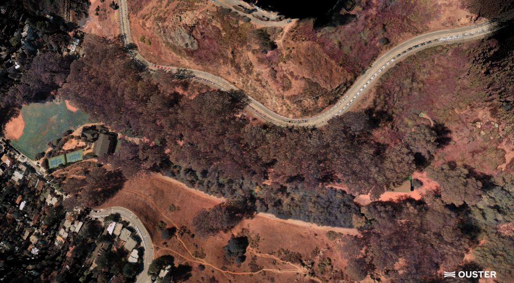
SAN FRANCISCO – Lidar sensor maker Ouster said Monday that its Rev8 OS1 Max system is being adopted by drone manufacturers and payload integrators for aerial mapping and infrastructure inspections, citing improved accuracy and native color imaging.
The San Francisco-based company said its Rev8 OS1 Max combines three-dimensional lidar data with RGB color in a single sensor, eliminating the need to combine data from separate lidar and camera systems.
Ouster said the new sensor offers twice the accuracy and precision of the previous-generation Rev7 OS1 Max. It has a precision of 0.25 centimeters and accuracy of 1.25 centimeters, according to the company.
The sensor has 256 vertical channels and can detect objects up to 200 meters away under specified conditions. Ouster said a smaller laser spot allows the sensor to maintain detailed mapping capabilities when drones operate at higher altitudes.
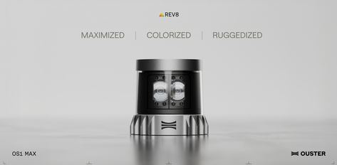
The company said the technology is intended for applications including utility inspections, infrastructure mapping and aerial surveying.
Flying at higher altitudes can allow drones to cover larger areas while maintaining the ability to identify small features on the ground.
The native-color capability also improves the alignment of three-dimensional and visual data because both are captured by the same sensor rather than being combined from separate systems, the company said.
Ouster develops and manufactures lidar sensors and related sensing technology for applications including robotics, autonomous vehicles, industrial automation and drones.